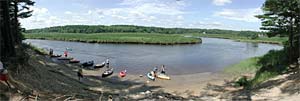
| Location: | Hanover/Norwell/Marshfield/Scituate |
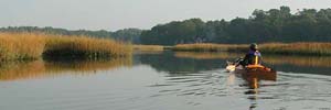
| Type: | Primarily salt water tidal river, fed by several freshwater sources. Mostly flatwater, with occasional rapids at specific locations and tide levels. Details |
| Location: | Marshfield/Scituate |
| Type: | Primarily salt water tidal river, fed by several freshwater sources. Details |
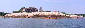
| Location: | Cohasset |
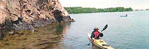
| Type: | Ocean, protected harbor, and tidal estuary Details |
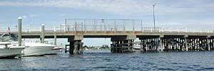
| Location: | Weymouth |
| Type: | Tidal River fed by Whitmans Pond in Weymouth and emptying into Hingham Harbor. Details |
| Location: | Plymouth |
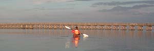
| Type: | Protected harbor Details |
| Location: | Duxbury |
| Type: | Protected bay and tidal streams Details |
Hingham Harbor
and nearby destinations
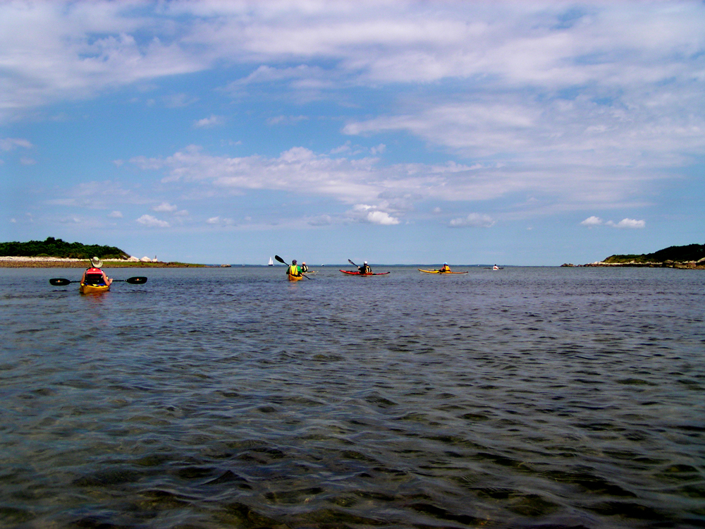
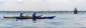
| Location: | Hingham/Hull, MA |
| Type: | Protected bay Details |
A map of kayak launch spots around the South Shore can be found here.